

Marão, to look beyond mountains
Serra do Marão is located in the region between Trás-os-Montes and Douro Litoral and it’s part of a rocky mountains ridge (along with Gralheira, Montemuro and Alvão) that separates Minho from Trás-os-Montes.
Geological morphology (creating a natural condensation barrier) puts the region as having one of the highest rainfall areas in the country.
The mountainous system
Gralheira, Montemuro, Alvão and Marão, form the mountainous alignment that separates the above mentioned regions, Trás-os-Montes and Minho.
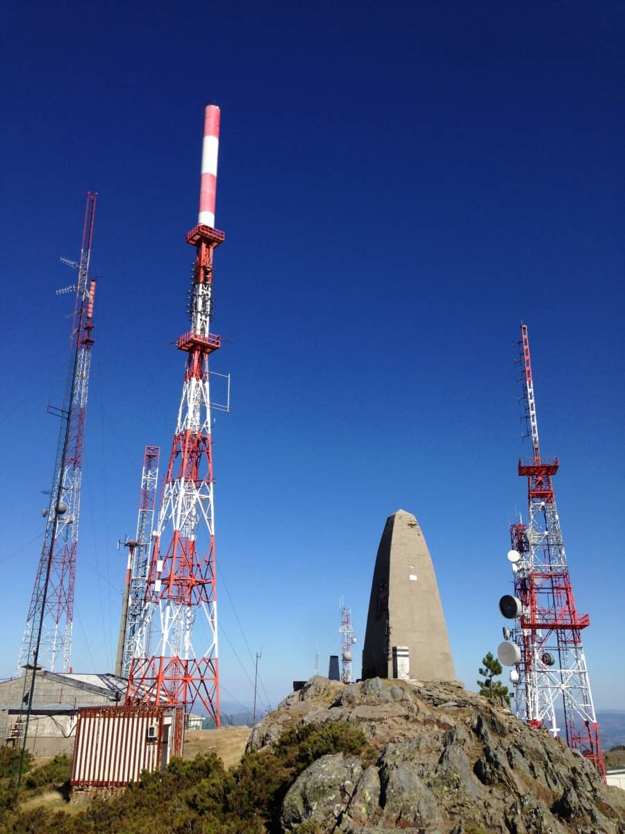
Marão is one of the tallest mountains in Portugal with an elevation of 1415 mt.
Predominantly rural, Marão embraces distinguishable areas with great agricultural importance, the RDD (Região Demarcada do Douro / DDR – Douro Demarcated Region) region where most of the Port Wine and, other non-fortified wines are produced.
Climatic variations along the region confers special and different characteristics to the final product.
Northern, northwestern areas, with strong forestation and small agricultural areas as opposing to the western and southwestern regions where agriculture is more intense and variable accordingly with the environment itself.
The region is geologically very rich, with large deposits of granite and schist, along with minerals like copper and some others with great economic interest like Tungsten, as one can observe from the many mines and other abandoned facilities that were left behind after WWII and used in the extraction of this element.
Socio-Economic aspects
The region suffered for many years a strong demographic decrease, mostly due by difficult access as it was considered a natural obstacle and also by the lack of perspectives, both social and economic, for the younger generations, most of them refusing a rural live and attracted to more populated areas surrounding the region, that offered better conditions.
Lack of infrastructures, rigorous and aggressive environment all contributed in some extent to human abandonment of the region.
Agriculture was not an option to a great part of the population that simply left seeking better opportunities.
Early 2009, a tunnel was commissioned with the purpose of connecting Amarante and Vila Real, through the mountain, shortening the crossing time between regions. Works lasted until 2016. Today it’s the most important road connection in the region, absorbing most of the traffic from other national routes.
Many of the difficulties felt by the population still remains in our days and the region needs more effective mesures to prevent depopulation, broad enough to embrace both rural and urban aspects alongside with natural and cultural preservation, in a region with a vast natural resources and ecosystems.
As the old portuguese saying :
“Para lá do Marão, mandam os que lá estão” (Beyond the Marão, it is those who live there that are in charge”)
reflecting the harsh conditions and isolation lived by the population, making them the true rulers of the region.
Today the region is closer, today the distance remains.
As harsh as it is romantic, (one should make a visit to the beautiful Inn of São Gonçalo near the old National Route) and with unbeatable views, the region offers numerous opportunities for many activities from eco-tourism to natural activities and wildlife observation.
Can we look beyond ?


